Description
| Dimensions (H/W) | 74 x 118 cm |
|---|
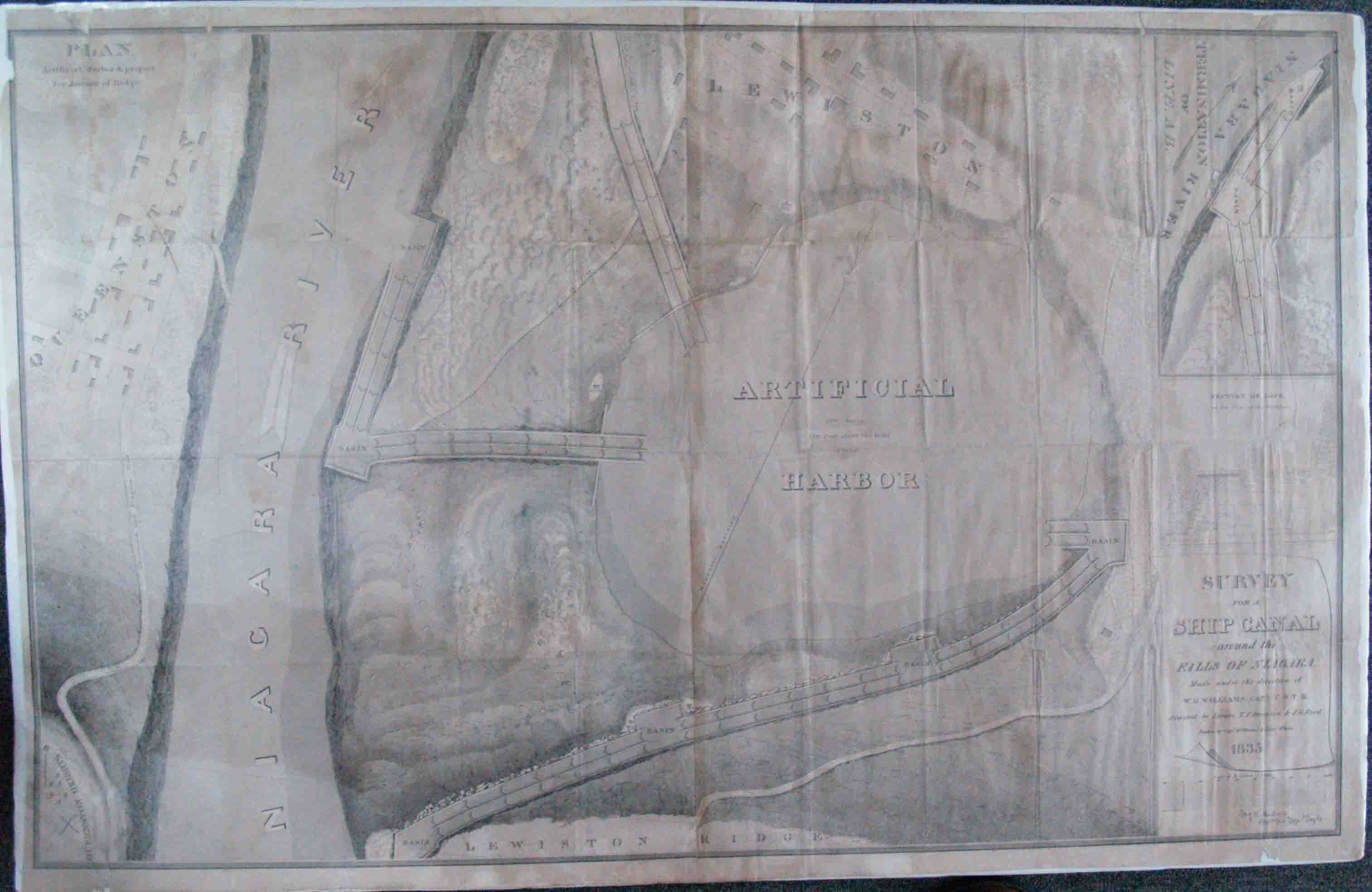
Uncolored map. fine condition. Excellent detail of the Niagara River near Niagara Falls. Survey by Williams, assisted by Lt. T. F. Drayton and Lt. J. C. Reed. This is a striking government-issued map of the proposed artificial harbor proposed as a necessary component of a canal between Lake Erie and Lake Ontario. The map depicts the area from Queenston, Ontario, across the Niagara River from the proposed artificial harbor to Lewiston Ridge, south of the harbor which the canal would have to descend and the town of Lewiston north of the harbor. Inset plan of the Termination of the Line and a small cross section of a lock in the canal.


