
Description
| Dimensions (H/W) | 67 x 100.5 cm |
|---|
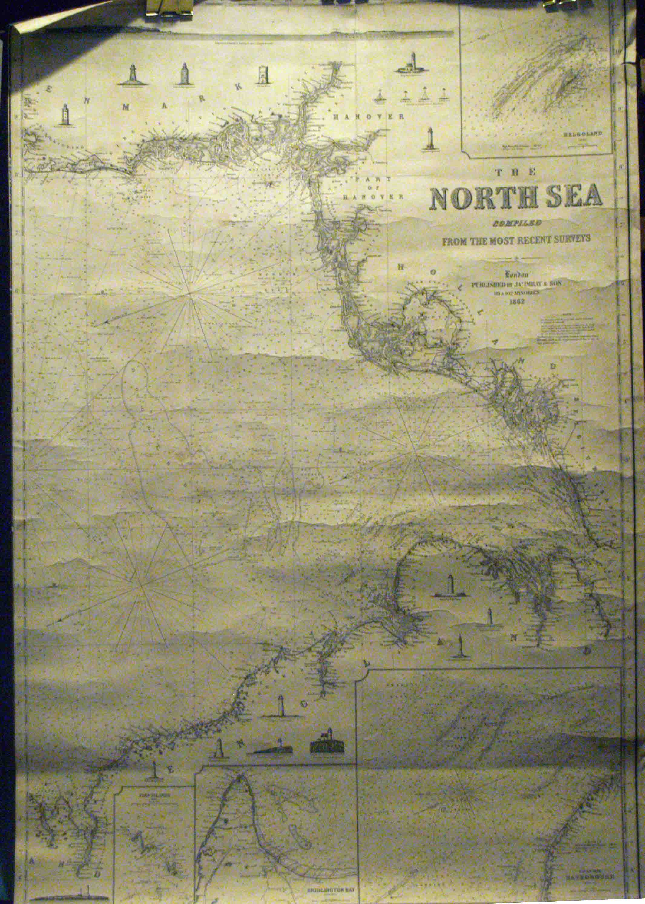
Blue-backed sea chart, unjoined along the vertical divide between the northern and southern sheets. Very good condition, with a 15 cm. tear from the top of the center of the southern The southern half of the chart shows the lower section of the North Sea, ringed by land from Denmark, around to Calais and Dover, and up to the Firth of Forth. The northern half shows from Jutland to the Orkney and Shetland Islands, along with the western and southern coasts of Norway. There are 36 inset illustrations of lighthouses along these coasts. 3 inset charts.


