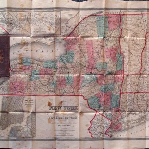
Description
| Dimensions (H/W) | 43 x 60 cm |
|---|
From second edition of Melish’s Military Atlas. Outline color. Split and repaired along one vertical fold, with some loss (not of printed area) along that fold. Shows much of northern New York State, including the northern portion of Lake Champlain, along with the southern areas of what are now western Quebec and eastern Ontario. This is among the earliest collaborations between John Melish and Henry Tanner.