Description
| Dimensions (H/W) | 61 x 68 cm |
|---|
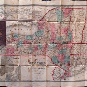
Original cloth, excellent condition with manuscript circles drawn around some city names. Full color by town. Includes most of Pennsylvania, extending to Pittsburgh which is in the border at the lower left. This is a late reissue of the basic Colton New York State map which had first been issued in 1852. There are a huge number of changes from that first map, though the basic land features and town boundaries have been retained intact.